
Tulsa County ZIP Area Coverage
The City of Tulsa's official map identifies 27 core City postal labels, arranged in East, Midtown, North, South, and West groupings. That is a verified city-area list, not a list of every delivery route that touches Tulsa County. The county includes Tulsa and parts of several other municipalities, so no single official source located for this research enumerates every countywide delivery route. Treat the table as a core-City reference, then verify a specific address before relying on a postal label.
| ZIP group | City map area | Post office information | Scope note |
|---|---|---|---|
| 74108, 74116, 74128, 74129, 74134, 74146 | East Tulsa | Not inventoried by the City map | USPS delivery labels, not municipal boundaries |
| 74103, 74104, 74105, 74112, 74114, 74119, 74120, 74135, 74145 | Midtown Tulsa | Not inventoried by the City map | Core-City coverage only |
| 74106, 74110, 74115, 74117, 74126, 74127, 74130 | North Tulsa | Not inventoried by the City map | 74106 appears in the City map grouping |
| 74133, 74136, 74137 | South Tulsa | Not inventoried by the City map | Core-City coverage only |
| 74107, 74132 | West Tulsa | Not inventoried by the City map | USPS delivery labels, not municipal boundaries |
The City map does not supply a post-office-by-ZIP inventory, a countywide route list, or a realignment year. Those unknowns matter. A core City grouping should not turn into a claim about the entire county.
Read Tulsa County ZIP Routes
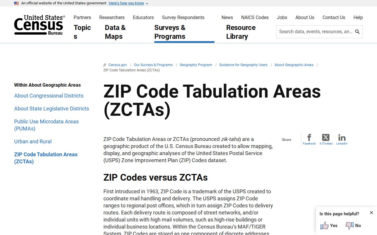
ZIP Codes are delivery-route constructs, not city or county borders. The Census describes its ZIP Code Tabulation Areas, or ZCTAs, as generalized statistical polygons built from point-based delivery routes. A ZCTA can be noncontiguous, mixed-delivery, PO-box-only, or associated with a single institution or firm. For that reason, a Tulsa postal city name does not prove that the address is inside the City of Tulsa or entirely inside Tulsa County.
The Census ZCTA explanation illustrates the distinction between delivery geography and a statistical map.
Use a ZCTA for broad tabulation context, not as the final answer to a parcel, municipal, or county-jurisdiction question.
That distinction is visible in Tulsa County's mix of urban Tulsa and surrounding places. Postal delivery can span municipal assumptions, while a city permit, County Assessor parcel, or County Clerk land record follows the boundary and authority of its own system. A postal map is a useful first sort, then a specific address and government boundary confirm the next step.
Verify Tulsa County ZIP Labels
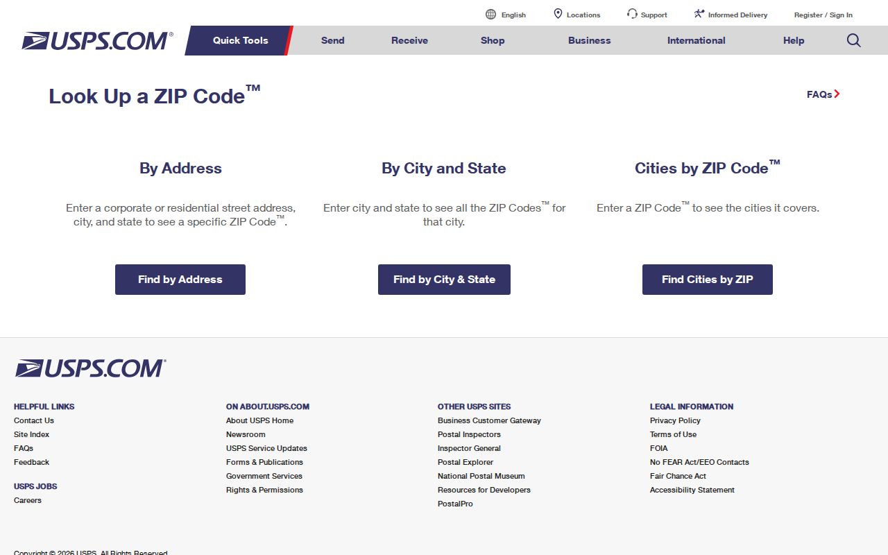
Verify a single delivery address through USPS before using it as a search key. The federal lookup is the documented route for checking one address and its ZIP. No static Tulsa County result was captured during the research because the tool requires live address interaction. That is a useful boundary: the lookup confirms a delivery address when entered, but it is not a prebuilt county resident or parcel search.
USPS postal lookup is the direct address-verification tool.
Once USPS confirms the mailing form, retain the address number, street direction, and ZIP. Those details make the next property or permit search more reliable.
Tulsa County ZIP and Parcel Data
Postal information is only one part of an address record. The Assessor card distinguishes the situs, the physical parcel location, from the owner mailing address used for tax correspondence. The legal description is a separate lot, block, subdivision, or survey description that keys recorded documents. A mailing address can be elsewhere, and neither mailing nor situs proves that every person connected with a parcel lives there.
The County Assessor accepts one free-text query for an address, account number, subdivision, or owner. It does not document a dedicated ZIP filter. A ZIP may be part of an address-like search, but it should not be described as a ZIP-wide parcel search. Narrow a verified address or a street and owner term instead.
County postal geography is broader than the City map. Tulsa County includes Tulsa and parts of Broken Arrow, Bixby, Collinsville, Glenpool, Jenks, Owasso, Sand Springs, Skiatook, Sperry, and other postal communities. Start with the delivery form for the exact address, then let the Assessor record and applicable city or county office identify the government jurisdiction.
Address fields have different jobs. A situs is the parcel's physical location. A mailing address is where tax correspondence is sent. A legal description identifies the land in recorded documents. A ZIP code is a postal routing label that can cross those government-record boundaries.
Find Tulsa County ZIP Records
A ZIP can organize a local search, but the documented portals do not all accept it as a filter. Work from one verified address and use each source for its stated function. That approach prevents a broad postal area from being mistaken for a matched property, permit, court, or voter result.
- Confirm the delivery ZIP for one address with USPS, and save the full address as returned.
- Run the normalized street address through the Assessor Property Search. Select the correct parcel and preserve the situs, parcel ID, and legal description.
- Use the address in City CSS only when the property is within City of Tulsa jurisdiction. Its documented fields are type, address, and date, not a ZIP field.
- When a property needs a street-by-street review, move to the Tulsa County street directory for the parcel, recorded-instrument, and historical-address sequence.
OSCN is driven by name, case, and date information. The individual OK Voter Portal requires a registrant's name and date of birth. Neither is a public ZIP browse tool.
Tulsa County ZIP Portal Fields
Search controls set the limit of a result. The table distinguishes an address-verification route from the county and city tools that use a fuller address or other identifiers. It also shows why the same five digits cannot be treated as a common filter across every record system.
| Source | Documented field or input | ZIP use |
|---|---|---|
| USPS Lookup | Live address interaction | Verifies one delivery address and postal code |
| County Assessor | One free-text field for address, account, subdivision, or owner | No dedicated ZIP filter documented |
| City CSS | Type, address, and date | No ZIP field documented |
| OSCN | Name, case, and date-driven court search | Not ZIP driven |
| OK Voter Portal | Name as registered and date of birth | Not a public ZIP or street browse |
The Election Data Warehouse is a separate authorized-access channel. Its full registration-list access requires the state eligibility form and does not turn the individual voter portal into a postal-area lookup.
Tulsa County ZIP Labels
A postal city name and a city limit often diverge at the edge of a large county. Tulsa County also includes or overlaps areas associated with Owasso, Broken Arrow, Jenks, Bixby, Glenpool, Sand Springs, Collinsville, Skiatook, Sperry, Turley, and other places. An address can carry a Tulsa postal name while falling under another government jurisdiction, and a municipal address can reach across a county line.
Check the governing boundary. Use USPS for delivery form, then compare the Assessor situs, City zoning or permit jurisdiction, and county map when an office or record depends on location. A ZIP label alone is not the jurisdiction test.
That distinction matters especially for permits and municipal records, which follow City jurisdiction. The Assessor, County Clerk, Treasurer, District Court, and Election Board instead carry county or state functions with their own reach.
The city map deliberately stops short of a full county inventory. It does not establish which postal codes serve the county's outer communities or edge areas that overlap nearby counties. Verify an individual address rather than extending a core-City grouping to Owasso, Broken Arrow, Jenks, Bixby, Glenpool, Sand Springs, Collinsville, Skiatook, Sperry, Turley, or other local places.
Tulsa County ZIP Grid Search
Postal searches improve when the street form is normalized. Much of central Tulsa uses a numbered pattern around Admiral Boulevard, with numbered east-west streets to the south and historical alphabetic names to the north before 26th Street North. Subdivisions bring exceptions, and the rule is not a substitute for the address itself.
City CSS documents an address pattern with abbreviated directions and no punctuation. An older directory may spell out a direction, while a property record may abbreviate it. Keep the source wording for historical work, but test a normalized form when a search returns no match.
Tulsa County ZIP Context
The City of Tulsa's 2023 Equality Indicators material supplies regional context totals for its postal clusters: East 81,527, Midtown 127,368, North 82,650, South 108,642, and West 30,229, with a City total of 411,938 in the 2022 context. These are regional map statistics, not counts for a single delivery route and not countywide resident counts.
Use those figures only to understand the City map's scale. They should not be used to infer who receives mail in an individual ZIP or who belongs to a particular parcel.
For a ZIP code directory, the numbers reinforce the value of regional context without changing the basic rule: delivery geography and record jurisdiction must be checked separately. A map cluster helps organize research, but it never replaces a verified address, parcel card, or city boundary review.
Tulsa County ZIP Search Terms
Postal terms can look alike while describing different parts of the delivery system. Keeping the distinctions straight makes a ZIP code directory more useful when an address is compared with a parcel record or a City map.
- ZIP and ZIP+4
- The five-digit ZIP directs mail to a postal area; ZIP+4 adds a more precise delivery segment.
- PO-box ZIP
- A postal label used for post-office-box delivery. Census notes that a ZCTA may be PO-box-only.
- Unique ZIP
- A ZIP associated with a single institution or firm, a situation the Census identifies as possible in ZCTA geography.
- Carrier route
- A mail-delivery grouping within a postal area. It is not a municipal boundary or a parcel identifier.
For a property or public record, keep the postal label with the full street address, parcel ID, and legal description rather than relying on any one of them alone.