
Sources for Tulsa County Neighbors
A block question has several narrow answers. The Assessor and Tulsa View supply the parcel pattern and owner or mailing context. County Clerk plats and deeds explain legal lots, blocks, subdivisions, and transfer history. The City's neighborhood tools show registered-group context. A record about a parcel, association, or civic activity should not be turned into a claim about everyone living nearby.
| Block record source | What it can show | Access and boundary |
|---|---|---|
| Assessor parcel card | Situs, owner, tax mailing address, account, parcel, legal description and annual property context | Free property search; owner is not necessarily an occupant |
| Tulsa View map context | Plots, dimensions, zoning, subdivision boundaries, unplatted land and property-owner data | Central Library Research Center PCs RS017C and RS029C; public web controls were not verified |
| County Clerk plats and deeds | Legal lots, blocks, subdivision facts and recorded transfer trail | Acclaim or counter; web name index begins in 1928 and legal index in 1987 |
| City neighborhood map | Registered association, HOA, block-group boundary, or liaison channel | Community context, not a membership roster |
| Election data route | Lawfully available registration data for authorized users | Not a public block browse; protected records are excluded |
| Historic directories | Dated address-to-occupant context where a reverse volume is available | Library research material, not current or complete proof |
The key distinction is owner, mailing recipient, and occupant. An owner may receive tax mail somewhere else, and a property card does not identify household members, utility customers, or everyone present at an address. A result is evidence for its particular field and date only. The same caution applies to a recorded deed: it can establish a documented transfer, but it cannot identify every person who later uses the property.
Map Parcels Around Tulsa County Neighbors
Use the adjacent-parcel method to understand the land immediately around one address. Tulsa County research does not document a public adjacent-parcel or radius button. The supported approach is to identify the subject parcel first, browse map context around it, and open each selected parcel one at a time. That gives a defensible parcel comparison without pretending the map exports a neighborhood roster.
- Enter a short standardized address in the Assessor search and select the matching parcel.
- Record its account or parcel ID, situs, and legal description, including subdivision and lot or block where shown.
- Use Tulsa View at the Central Library Research Center or a county map route to browse directly adjoining lots.
- Open each identified parcel card individually and compare boundaries, situs, legal description, owner, and mailing address.
- For a legal transfer question, use the parcel or legal description in Acclaim and compare the deed details. For an entire named street, use the Tulsa County street records route.
A parcel is a defined piece of land in the assessment system. Its legal description is the stable bridge to plats and recorded instruments, even when a street address has been reformatted. A boundary dispute or formal legal question belongs with a title, plat, survey, or appropriate County Clerk record professional.
Separate Owners From Tulsa County Neighbors
Property records are useful because they are tied to a particular lot, but they have a narrow purpose. The Assessor card can display the situs address, owner name, owner mailing address, Parcel ID, legal description, and annual improvement information. A reviewed public card showed that the mailing address and situs address can differ. That difference is a tax-mail fact, not a way to identify a current household.
| Official record category | Commercial neighbor-lookup category | How to treat the result |
|---|---|---|
| Parcel, deed, court, voter, and city records with a named custodian | Services that combine public and nonpublic data into a person profile | Use the official record for the limited fact it publishes and its date. |
| Known source field, such as legal description or recorded date | May merge stale data or people with similar names | Do not accept a combined profile as an identity conclusion. |
| Custodian correction or access process | Separate removal or correction process for each service | Ask the responsible source to correct an error when a process exists. |
Plats and deeds add legal history, not a current household list. City permits can add a regulated-work date or status. Neither record type fills the gap left by a missing resident name. That gap should remain a limit rather than an invitation to infer private associations.
Locate Tulsa County Neighbor Community Layers
City Neighborhood Services maintains a registered Neighborhood Map, a registration process, and liaison support for organized groups. A registered group can appear on the map and may apply for the City's Dumpster Program. An older City announcement described searches for neighborhood associations, HOAs, block groups, business associations, Alert Neighbors groups, umbrella associations, and council districts. It counted 369 organized groups in 2016, so current contacts and boundaries should be checked on the live map.
The City of Tulsa neighborhood resource directs users to the community map and support information.
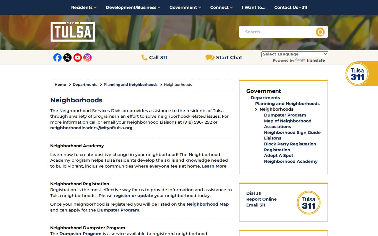
Association boundaries can explain the community layer around a parcel. They do not establish that a specific household belongs to a group, attends a meeting, or shares contact details. Use the listed organization channel for a local question instead of trying to recreate its membership.
Neighborhood Services
City liaison and registered-group resource. Contact: 918-596-1292 or neighborhoodleaders@cityoftulsa.org.
Registered Neighborhood Map
Use the live City map to verify a boundary and the current association contact route before relying on an older listing.
Read Tulsa County Neighbor Registration Details
The City registration form shows what an association directory is designed to collect. It asks for association type and name, primary and optional secondary contacts, north-east-south-west boundaries, establishment year, number of homes, election month, website or social media, dues, meeting details, and opt-ins. Those fields describe an organization. They do not identify every address or person in the organization.
The Tulsa neighborhood registration page provides the official registration route.
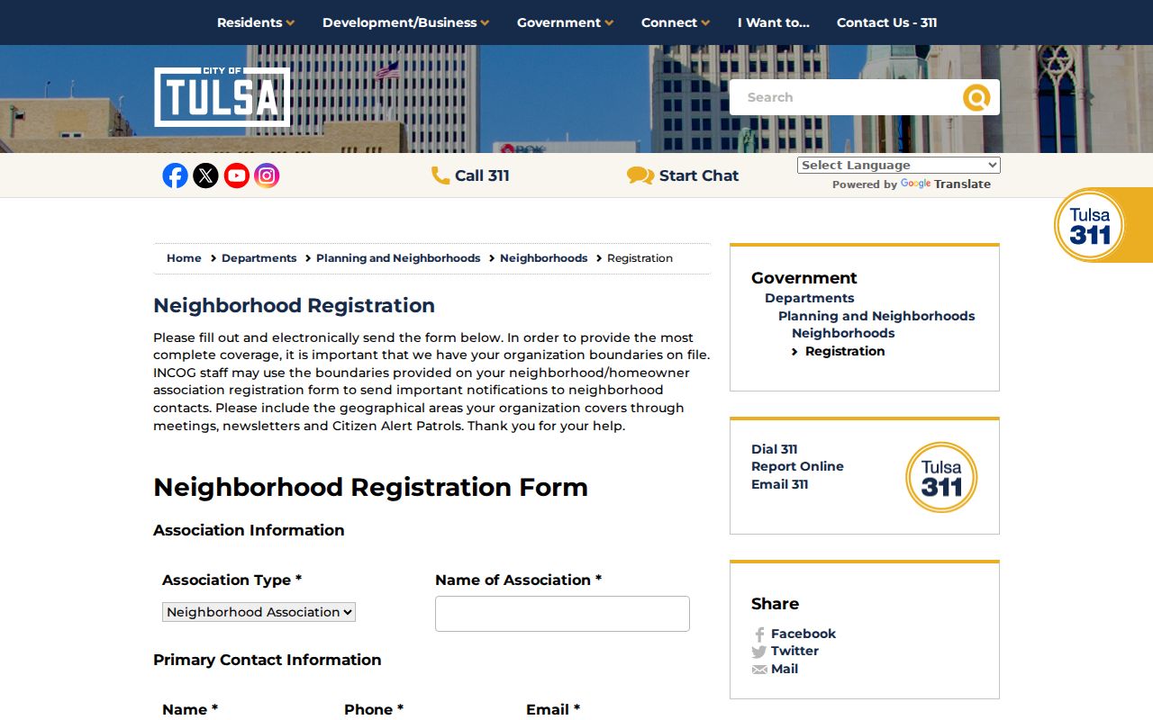
When looking for community information, record the association name and boundary, then verify its contact channel with the City. Do not reuse an old individual contact from a map announcement or treat a registration form as proof of a person's participation.
Use Tulsa County Neighbor Voter Records
Oklahoma's individual voter portal cannot be searched by street to list people. It requires a registrant's name as recorded and date of birth for self-verification. The Election Data Warehouse has a different, lawful access path. Full registration-list access is limited to eligible people and organizations under 26 O.S. § 7-103.2, while basic access does not include the registration list.
Even authorized data has privacy boundaries. It does not provide driver-license or Social Security numbers, telephone numbers, or email addresses. Restricted Records and Address Confidentiality Program participants are withheld, and protected voting methods are handled separately. A missing record must not be treated as evidence that a person does not live on a block.
- Restricted Records
- A state voter privacy protection for qualifying people and their immediate family members, with limited statutory access.
- Address Confidentiality Program
- An Oklahoma Attorney General program that provides a substitute address and secure election-registration treatment for qualifying survivors.
- EDW
- The Election Data Warehouse, a raw-data system with eligibility rules and a scope different from the individual voter portal.
Check Tulsa County Neighbor Block Records
City permit and code material can add property context without becoming a people search. Development Services' Citizen Self-Service guest search accepts permit type, address, and date range. For an address search, the documented pattern uses direction abbreviations and no punctuation, such as an abbreviated cardinal direction. A permit can show project or status information, but it does not identify all people connected with a location.
For the block's legal layout, compare the Assessor legal description with a County Clerk plat or recorded instrument. Use a narrow recording-date range and document type in Acclaim when those facts are known. The name index covers 1928 to the present and the legal-description web index covers 1987 to the present. Older history may require the historical camera channel or counter help.
Historic maps, aerials, and Tulsa library neighborhood histories can explain when an area developed. TCCL has published paper and digital neighborhood histories for places including Brady Heights, Dawson, Kendall-Whittier, Maple Ridge, Owen Park, Reservoir Hill, Riverview, Swan Lake, Tracy Park, White City, and Southwest Tulsa. Those materials can point to abstracts, zoning, maps, and city files. They are valuable for place history, but they do not supply a present-day neighbor list.
Keep Tulsa County Neighbor Information Private
Public property and community records leave important information private. They do not list every household member, utility account, motor-vehicle address, or protected voter. Oklahoma's Address Confidentiality Program and voter Restricted Records are designed to prevent disclosure in defined circumstances. Recorded land indexes also have limits on copying or mechanical reproduction for sale, even when inspection is permitted.
Privacy and lawful use. Use block records to understand a parcel, a community boundary, or local history. Do not use information about neighbors to watch, stalk, harass, intimidate, publish a reconstructed list, or evade a protected address. For a suspected record error, contact the record custodian rather than the person named in it.
For a wrong Assessor entry, ask the Assessor about its correction process. For a recorded instrument, contact the County Clerk. Election, court, and city records each have their own custodian and rules. A careful inquiry respects those limits and gives the block context meaning without exposing private lives. It also avoids a common error: treating a property or association field as an unstated claim about a specific person.