
Where Tulsa County Past Residents Appear
A strong address history moves across record systems as the period changes. Recorded land material identifies transfers through names and legal descriptions. City directories and, when available, reverse directories provide historical occupant context. Census, maps, permits, and notices add dates and facts that one source cannot supply. The table below separates the verified online ranges from the older counter and library paths. It also prevents a common error: treating the modern land index as the beginning of the local record trail.
| Research source | Verified era | Where held | What it can show |
|---|---|---|---|
| County Clerk name index | 1928–current | Acclaim / County Clerk | Recorded-name trail; the web service is fee based and may require registration. |
| County Clerk legal-description index | 1987–current | Acclaim / County Clerk | Parcel and legal-description instrument trail. |
| Historical Camera and older record route | Before the modern web ranges | County Clerk | Older index and image fallback; exact book and film years were not published. |
| Tulsa city directories | 1909 forward | Central Library Research Center / Oklahoma Room | Historical address and occupation context. |
| Federal census | Released census through 1950 | TCCL subscription access and federal resources | Household evidence organized by census methods and dates. |
| City permit guest search | Start date not located | City CSS / Permit Center | Type, address, date, status, and releasable project material. |
Start with the Assessor when the present address is known, because its property card provides the account and legal description that link an address to County Clerk records. For a pre-web era, use the current identifiers only as a bridge and ask the County Clerk for the historical route rather than claiming an online result is complete.
Tulsa County Address Record Key
The Assessor’s Property Search is the first practical step for a Tulsa County address. Enter as little as necessary, then choose the correct parcel and record its account number, situs, legal description, and subdivision information. The portal advises that less-specific searching can work better and warns that periods, commas, and apostrophes may limit results. It also supports exact-phrase and exclusion syntax. A result contains both a situs address and an owner mailing address, and those fields can differ.
That difference matters. A mailing address is where tax correspondence is sent, not proof of who lives at the situs. The Assessor itself says its ownership information is informational and that the County Clerk is the legal ownership repository. For a platted parcel, preserve the subdivision, lot, and block. For unplatted land, retain the section, township, range, or metes-and-bounds wording. That legal description stays useful even when an older directory prints a different street form.
Tulsa County Deed Index Cutoffs
The County Clerk distinguishes a name search from 1928 to current and a legal-description search from 1987 to current. Those are different coverage statements, not a promise that every deed begins in those years. Earlier material requires the historical camera route, deed books, or counter assistance. The Acclaim parcel search documents a legal parcel such as 176-15-301-024, matching choices of Starts With, Contains, or Exact, plus optional document-type and date-range filters.
Keep the portal’s displayed “Verified through” date and instrument number with search notes. The name route shown in the research was gated by a local-account login, and the County’s land-records description calls the system fee based. A narrow parcel, date, and document query is more defensible than a broad surname query, especially where several people share a name.
Review the County Clerk’s historical camera-record access route before seeking older images.
The historical route is an essential part of a Tulsa County previous-residents search because the online index coverage changes by search type.
Follow Tulsa County Deed Records
Land records build the owner side of an address timeline. Start from the correct parcel rather than a street name alone. Locate the acquiring deed for the current owner, record its instrument or recording date, document type, grantor, grantee, and legal description, then move backward while checking that the same land remains in the chain. A seller may appear as a grantee in an earlier purchase, but a shared name alone is not enough. The legal description and dates must agree.
- Search the Assessor for the address and save the account or parcel number, legal description, and current roll details.
- Use the parcel or legal description in Acclaim, with a document type and date range when those are known.
- Find the acquiring instrument and record the grantor, grantee, recording information, and legal parcel.
- Search the prior grantor as a grantee while preserving the same lot, block, subdivision, or survey description.
- When the trail crosses the documented web range, request Historical Camera images, deed books, or County Clerk counter help.
- Grantor and grantee
- The grantor is the party conveying an interest in a recorded instrument; the grantee is the party receiving it.
- Chain of title
- A dated sequence of recorded transfers tied to the same legal parcel, not merely a list of similar names.
- Legal description
- The lot, block, subdivision, or survey wording that identifies land for recorded purposes more reliably than a changing street address.
- Criss-cross directory
- A reverse, address-order directory that can connect an address to a listed occupant when a volume for the needed year is available.
- Enumeration district
- A geographic area used to organize census work. It can help locate a household but does not replace a precise street-address match.
Date Tulsa County Address Records
Previous residents are only one part of house history. The Assessor’s year-built field and annual improvement table are assessment details, not a deed date or guaranteed construction-completion date. City Development Services offers a second address-keyed record: CSS guest access can search permits by type, address, and date range. Its documented address style is 549 E 36TH ST N, with abbreviated directions and no punctuation. A differently formatted address may not return the same result.
Permits can date regulated work and may point to releasable supporting documents after a permit issues. They do not establish a complete household list. Sanborn maps, including the Library of Congress’s two-sheet 1896 Tulsa map, and TCCL aerials from the 1950s and 1960s can add a physical-place timeline. When those sources conflict, preserve the conflict instead of forcing one construction date.
Use the TCCL house, building, and neighborhood history guide to connect maps, abstracts, neighborhood histories, and library holdings.
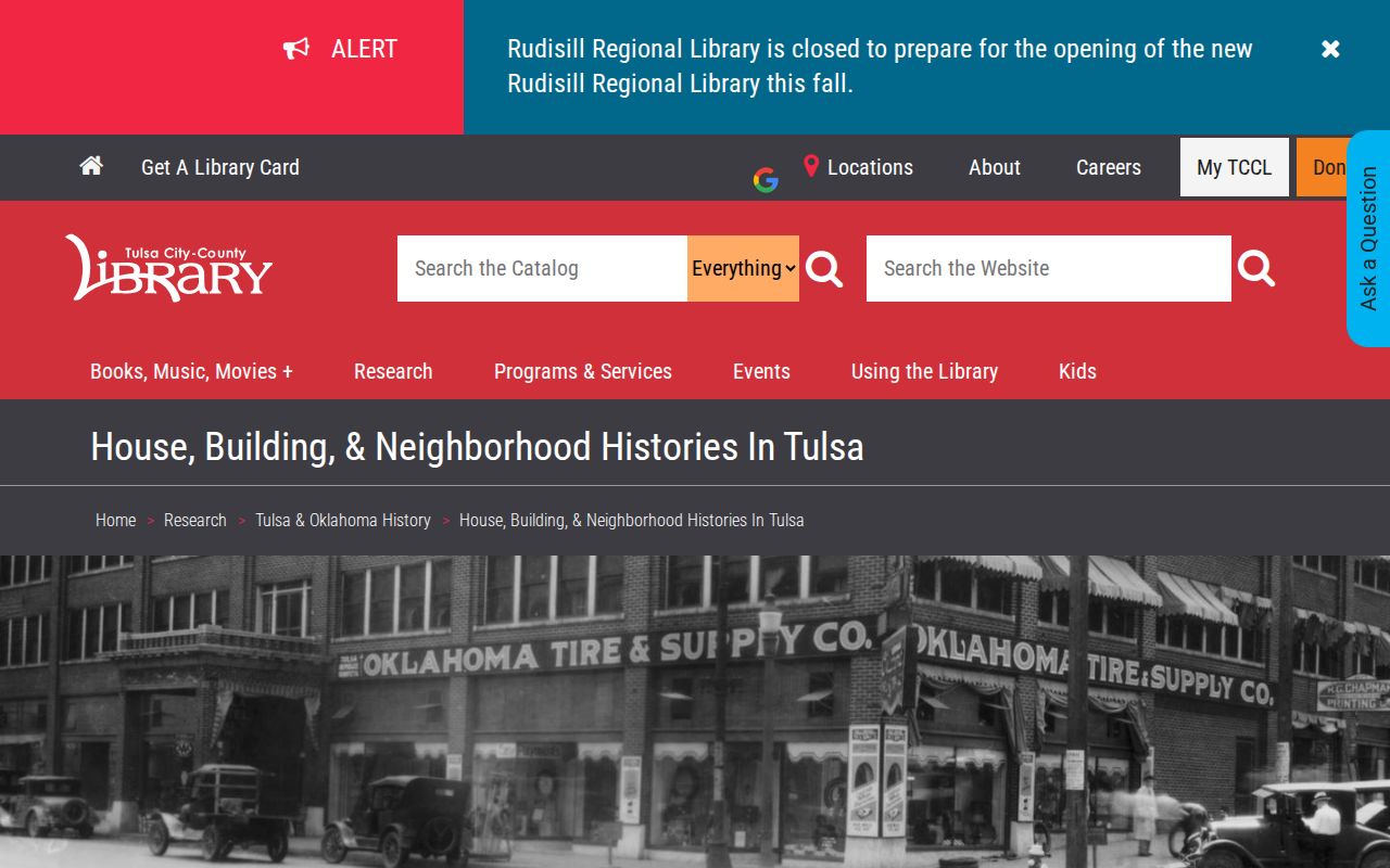
The guide points researchers toward place evidence that helps date a parcel without treating a map or permit as a list of past residents.
Tulsa County Prior Residents in Directories
Recorded owners are not always the people who lived at an address. Tulsa city directories form the historical occupancy layer, with the Central Library run documented from 1909 forward and a set of specific years at Hardesty. A directory generally provides names and addresses and may include spouse names or occupations. Its entries are commercial compilations, not official proof of title or complete household membership. An available reverse or criss-cross volume can read from address to listed occupant, but the exact local reverse-directory run has not been verified.
For collection locations, digitized access, and how to read a printed entry, use the Tulsa County city directory collections. Keep the printed street spelling with each dated directory result. Admiral Boulevard divides much of Tulsa’s numbered east-west street pattern, while north-side historical names can differ. A street-format difference may be a map and grid question, not evidence that a household moved.
Pair Tulsa County Directories With Census
A directory and census pair can test a household trail at two distinct points in time. TCCL states that the released federal census now reaches 1950 under the 72-year privacy rule. Start with a directory entry, then choose the nearest census release and compare the surname, given names, spouse information, address or ward clues, and time frame. Do not make the directory’s publication year stand in for a census enumeration date.
- Write down the exact address and spelling from the directory year.
- Check the volume before and after for a first appearance, last appearance, or move.
- Use a same-year reverse directory only if the collection has that volume.
- Find the nearest released census and compare several household details, not just a surname.
- Add deed, tax-roll, map, or newspaper dates to the timeline and mark any unresolved conflict.
A disappearance from a directory can mean a move, death, name change, military service, or an omission. It needs corroboration. The published record should support a historical connection for its own period, not an undated conclusion.
Close Tulsa County Resident Trails
For a person who has left the address trail, TCCL’s Tulsa World death-notice index covers 1963–1990. It identifies a notice date and may show age, occupation, or service information, but it is not the obituary. The Library advises searching surname variants or beginning-letter fragments because spellings can vary. Tulsa World and Tulsa Tribune microfilm, cemetery binders, funeral-home resources, and probate records offer separate types of corroboration.
Marriage Books of Tulsa County, Books 1–30, cover 1907–1920 in the Library’s historical holding, while a bride and groom microfiche index spans 1907–1987. Those resources can help explain a name change. A court or County Clerk custodian remains the right route for an official copy. TCCL’s neighborhood history material can also put a parcel in a development era, but it does not identify every person who lived on that street.
Lawful Tulsa County Resident History
Use previous-resident research for personal house history, family history, heir or estate context, and local history. Keep results in a dated research log. The County Clerk’s historical-camera agreement allows inspection and copying of the land-description tract index but restricts copying or mechanical reproduction for resale. That boundary fits the nature of a careful address history: follow one parcel and its sources instead of turning historical records into a bulk list.
Respect people and dates. Do not use historical or current record material to harass, stalk, or track a living person. Property, directory, census, and map records have different purposes and limits; verify important facts with the office or collection that holds the source.